
Are you intrigued by the world of geographic information systems (GIS) and looking to delve into the fascinating world of KML files? Well, you’ve come to the right place! KML, which stands for Keyhole Markup Language, is a file format used to display geographic data in applications like Google Earth and Google Maps. In this detailed guide, I’ll walk you through everything you need to know about KML files, from their creation to their usage.
Understanding KML Files

KML files are XML-based and are designed to be used with GIS applications. They allow users to create and display various types of geographic features, such as points, lines, and polygons, on a map. These files can also include additional information, such as descriptions, images, and links.
One of the key features of KML files is their ability to be used with Google Earth. When you open a KML file in Google Earth, you’ll be able to see the geographic features and information that the file contains. This makes KML files a powerful tool for visualizing and analyzing geographic data.
Creating KML Files
Creating a KML file can be done using various tools and software. Here are some of the most popular methods:
-
Google Earth: You can create a KML file directly within Google Earth by adding placemarks, polygons, and other features to your map. Once you’re done, simply save the file in KML format.
-
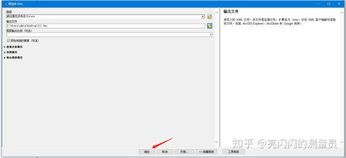
GIS Software: If you’re working with geographic data, you can use GIS software like ArcGIS or QGIS to create KML files. These programs allow you to import and export data in KML format, making it easy to share your work with others.
-
Online Tools: There are several online tools available that can help you create KML files. These tools often require you to input geographic coordinates and other information, which they then use to generate the KML file for you.
Using KML Files
Once you have a KML file, there are many ways to use it. Here are some of the most common applications:
-
Google Earth: As mentioned earlier, KML files are designed to be used with Google Earth. You can open a KML file in Google Earth to view the geographic features and information it contains.
-
Google Maps: KML files can also be used with Google Maps. By importing a KML file into Google Maps, you can display the geographic features and information on the map.
-
Web Maps: KML files can be used to create web maps. By embedding a KML file in a web page, you can share your geographic data with others.
Example of a KML File
Let’s take a look at a simple example of a KML file. This file contains a single placemark, which is a point on the map:
My Location My current location -122.4194,37.7749,0
In this example, the KML file contains a single placemark named “My Location.” The placemark is located at the coordinates -122.4194,37.7749,0, which is the latitude and longitude of the location.
Conclusion
KML files are a powerful tool for displaying and sharing geographic data. Whether you’re using Google Earth, Google Maps, or creating web maps, KML files can help you visualize and analyze your data in new and exciting ways. By understanding how to create and use KML files, you’ll be well on your way to becoming a GIS expert!


