
Have you ever come across a file with the .kml extension and wondered what it is and how to use it? Well, you’re in luck because this article is here to provide you with a comprehensive guide on everything you need to know about .kml files.
What is a .kml File?

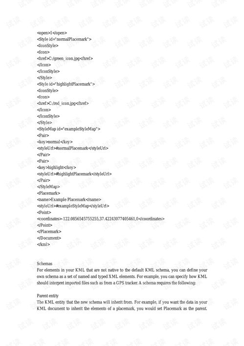
A .kml file, which stands for Keyhole Markup Language, is a file format used to display geographic data on various mapping applications, including Google Earth. It is essentially an XML-based file that contains information about locations, routes, and other geographical features.
These files are commonly used by developers, geographers, and enthusiasts to create custom maps and share them with others. They can be used to mark specific locations, create routes, and even overlay additional information on top of existing maps.
How to Open a .kml File
Opening a .kml file is relatively straightforward, especially if you have access to Google Earth. Here’s how you can do it:
- Download and install Google Earth on your computer or mobile device.
- Open Google Earth and go to the “File” menu.
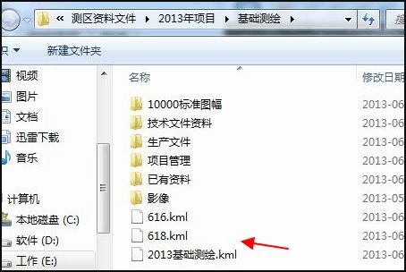
- Select “Open” and navigate to the location of your .kml file.
- Once the file is loaded, you’ll see the geographic data displayed on the map.
Alternatively, you can also open .kml files using other mapping applications like QGIS, MapInfo, and even some web browsers. Just make sure the application you’re using supports the .kml file format.
Creating a .kml File
Creating a .kml file can be done using various tools and software. Here are a few options:
- Google Earth: You can create a .kml file directly within Google Earth by adding placemarks, routes, and polygons to your map. Once you’re done, simply save the file with a .kml extension.
- QGIS: QGIS is a powerful GIS software that allows you to create and edit .kml files. You can import data from various sources, create custom maps, and export them as .kml files.
- Online Tools: There are several online tools available that can help you create simple .kml files. These tools typically require you to input the coordinates and other relevant information, and then they generate the .kml file for you.
Using .kml Files for Different Purposes
.kml files can be used for a variety of purposes, depending on your needs. Here are some common applications:
- Mapping: .kml files are widely used for creating custom maps, marking specific locations, and overlaying additional information on top of existing maps.
- GIS: Geographers and GIS professionals use .kml files to store and share geographic data, perform spatial analysis, and create visual representations of their data.
- Navigation: .kml files can be used to create custom routes and share them with others, making them useful for navigation and travel planning.
Table: Common .kml File Applications
| Application | Description |
|---|---|
| Mapping | Creating custom maps, marking locations, and overlaying information |
| GIS | Storing and sharing geographic data, performing spatial analysis, and creating visual representations |
| Navigation | Creating custom routes and sharing them for navigation and travel planning |
These are just a few examples of how .kml files can be used. The possibilities are endless, and with the right tools and knowledge, you can create and share your own custom maps and geographic data.
Conclusion
Now that you know what a .kml file is, how to open it, and how to create one, you can start exploring the world of geographic data and mapping. Whether you’re a developer, geographer, or just someone interested in maps, .kml files are a valuable tool to have in your arsenal.


